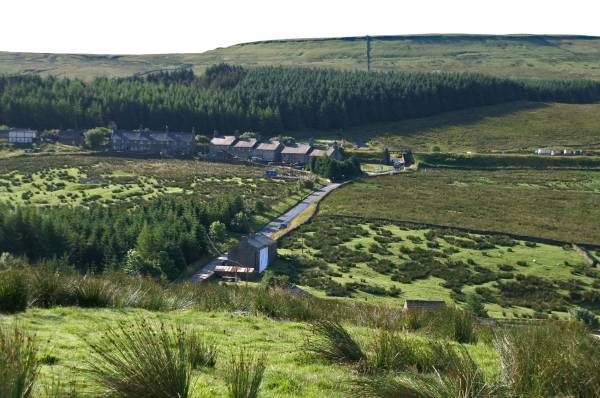
Hell Gill and the Highway.
Start. Garsdale (Old Coal Road).
Route. Garsdale Head (Old Coal Road) - East Clough - Blake Mire - Rowentree - Moor Rigg - Reachey - Round Ing - Flust - Grisedale Common - Rowan Tree Side - High Shaw Paddock - Shaw Paddock - Aisgill Moor Cottages - Hell Gill Force - Hell Gill Bridge - The Highway - High Dyke - Cotter End - Carr - Wensleydale Railway (Disused) - Moorland - A684 - Garsdale Head.
Notes. One of the kids once bought me a book by Bob Allen, Escape to the Dales, hidden in the pages I found this walk, Grisedale, Hell Gill and the Highway, why not give it a bash. Bob obviously walked it after a spell of dry weather, no where does he mention wellington boots or wet feet, maybe I should have had more sense than tackle it after a week of heavy showers. To be honest I was disappointed with the Grisedale section of the walk, picking my way through marsh grass and sphagnum moss from the offset, too early in the day to get wet feet, once I'd crossed into Mallerstang my mood lifted, the highlight of the day was Hellgill Force followed by an airy stroll along Lady Anne's Highway, magic.
I parked at the bottom of the Coal Road below Garsdale Station, my route took me across the A684 to access fields on a wet path leading to Grisedale and Flust, after bog hopping passed Blake Mire and Rowantree I reached the Grisedale Road at Beck House, north up the road to Moor Rigg to gain access to fields again passing Reachey, the ruins of East and West Scale eventually reaching the remains of Round Ing. From Round Ing the path was nonexistent, it took what seemed ages picking my way through marsh grass and sphagnum moss as I ascended to Flust and a decent path at last. Above the valley now striding out on a good track, heading east to reach a path junction above East House, here I turned north (no path) crossing Grisedale Common before descending into Mallerstang.
My route was supposed to go through High Shaw Paddock, I found myself below the farm, so I continued down the field to reach the main road at Shaw Paddock. Due to this slight error in navigation one mile of road walking followed before Aisgill Moor Cottages came into view, it felt quite pleasant walking over tarmac for a change. A farm lane runs behind the cottages, my route followed this, where it swings right and the thunder of Hellgill Force could be clearly heard just to my left. I stopped to photograph this impressive fall before continuing up hill following the banks of the infant River Eden to reach Hell Gill Bridge. I'm now heading south striding out along what was once the main road linking Kirkby Stephen to Hawes, it's a wonderful high level traverse with spectacular views across three valleys, Mallerstang, Garsdale and Wensleydale, after four miles I descend Cotter End to access a permissive path descending over Carr to reach the main road at Thwaite Bridge.
After 300 yards the route in the book accesses the old Wensleydale railway, the sign on the farm gate read strictly private, no access, I went through anyway, it was the only way onto the old track, it didn't look much like a public right of way, I carried on heading west through a cutting, the water was a foot deep, it occured to me in these days of obsessive health and safety it may not be possible to gain access to Garsdale Station at the other end, with this in mind I left the railway at Moorland Cottage to finish my day on an anticlimax wandering back along the grass verge of the busy A684, this way did have one big advantage, it went straight pass the front door to the Moorcock Inn.
Would I come this way again? most definately yes, after a dry spell or in the cold of winter, I'd change my route through Grisedale though, on reaching Moor Rigg I'd carry on up the road to East House cutting out the rather tedious loop.

Ascending Garsdale Low Moor looking to Edwin's Fell above Garsdale Station.
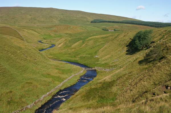
Views up the valley cut by the waters of Grisedale Beck.
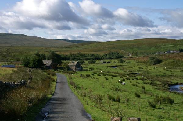
Beck House and the Grisedale Road.
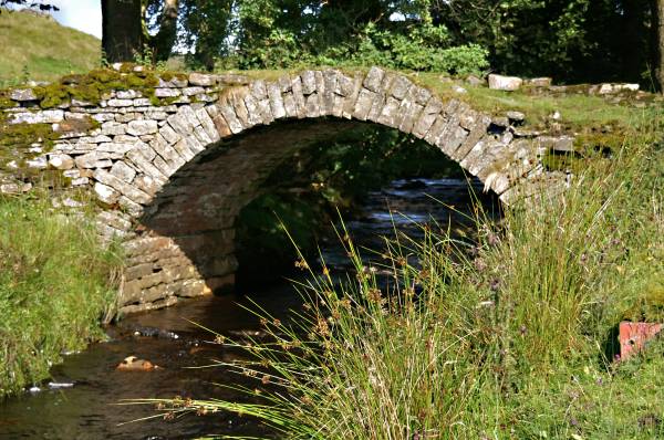
The delightful pack horse bridge allowing access to the ruins of East and West Scale.
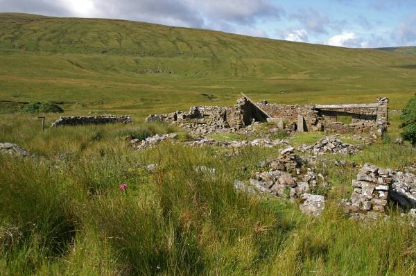
The sad dilapidated remains of Round Ing with Bough Fell rising behind.
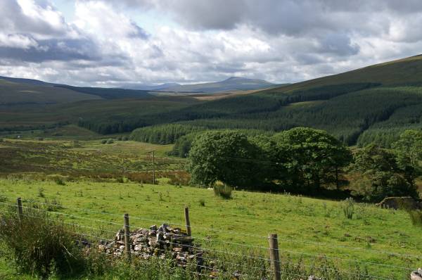
Near Flust with stunning views across Grisedale.
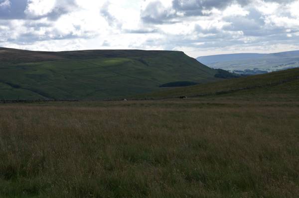
On Grisedale Common with views over Mallerstang to High Abbotside on my route later.
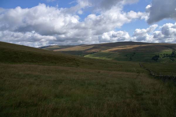
Dappled light on the slopes of Ure Head and Hugh Seat.
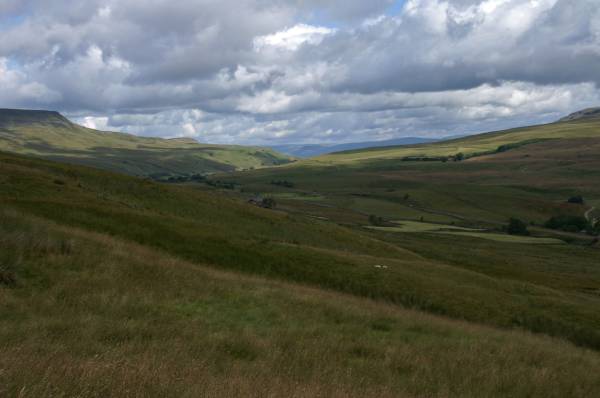
Viewing Mallerstang from the grassy descent of Rowan Tree Side, the sharp profile of Wild Boar Fell can clearly be seen top left.
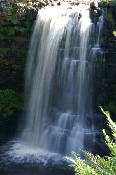
The splendour of Hellgill Force.
Striding out along Lady Anne's Highway named after Lady Anne Clifford, famous for spending vast amounts of her fortune restoring castles and churches across Yorkshire, she died in Brougham Castle at the ripe old age of 86 in the same room her father was born in.
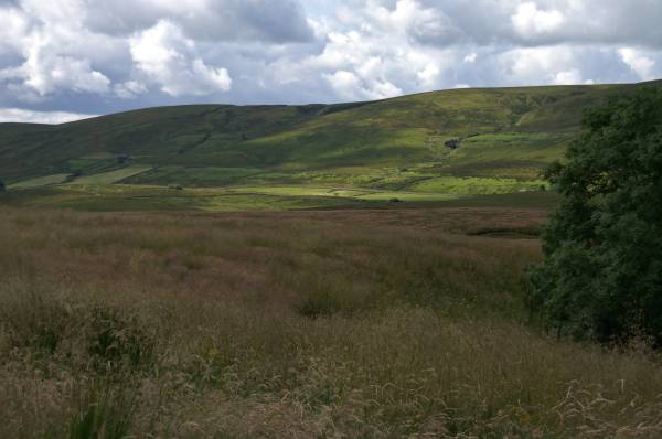
Near Hell Gill Bridge looking to Rowan Tree Side.
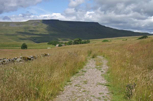
Rising high above Mallerstang, Wild Boar Fell.
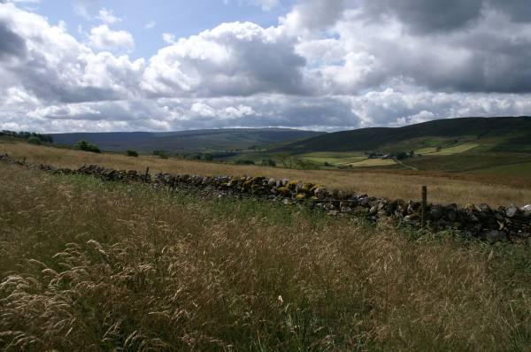
Seen from Lady Anne's Highway sun light on the slopes of White Birks Common with Rise Hill across the skyline.
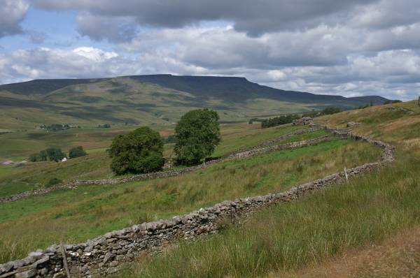
Wild Boar Fell towers over Mallerstang.
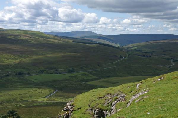
Lunch Time above the limestone cliffs on Tarn Hill, with views over upper Wensleydale to the viaduct at Garsdale Head
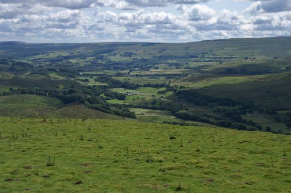
From Cotter End Wensleydale opens up before me.
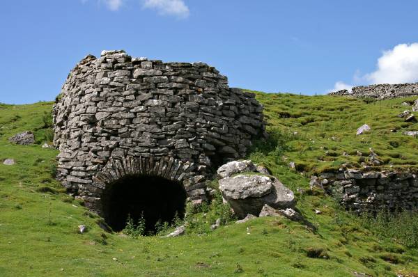
The lime kiln passed on the descent of Cotter End.
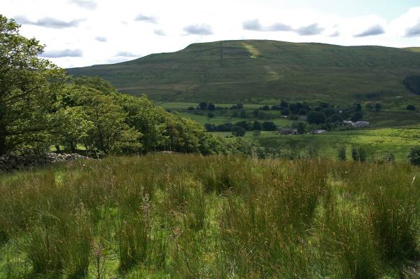
Descending Carr with views to Widdale Fell for company.
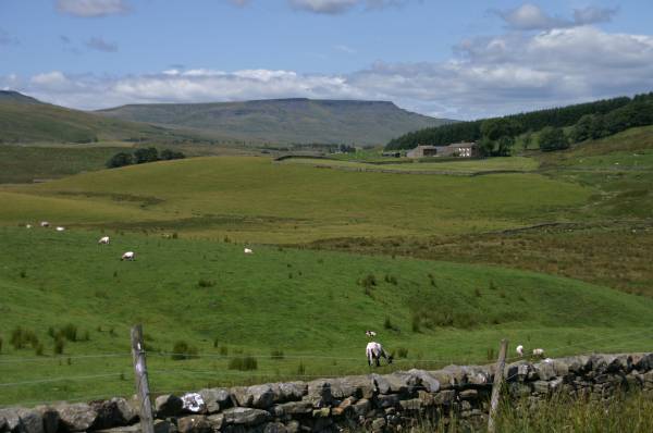
The flat top of Wild Boar Fell seen from the edge of the A684.
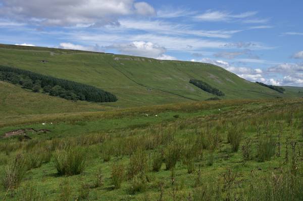
From the same place Cotter Side.
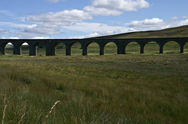
I've just escaped the bar in the Moorcock Inn, here's a view of the impressive arches of the Dandrymire Viaduct.
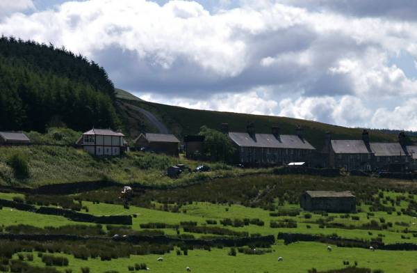
Garsdale Head journeys end.